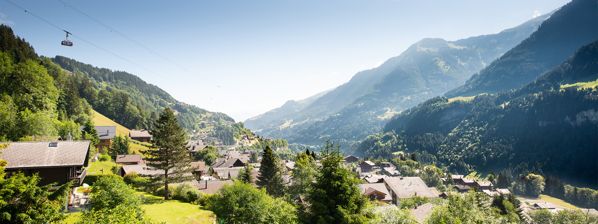
En forme olympique !
Champéry est l’un des lieux touristiques les plus anciens de Suisse et le premier site olympique valaisan, après l’accueil des épreuves de curling lors des Jeux Olympiques de la Jeunesse – Lausanne 2020. Le village allie charme et authenticité par ses chalets plusieurs fois centenaires bordant une pittoresque rue du village animée de commerces et de lieux destinés à la gastronomie.Non loin de là, son téléphérique rouge et blanc vous emmène en moins de 5 minutes à 2000m d’altitude et vous ouvre les portes du gigantisme. A pied, à ski ou en VTT, à vous la quête des grands espaces !
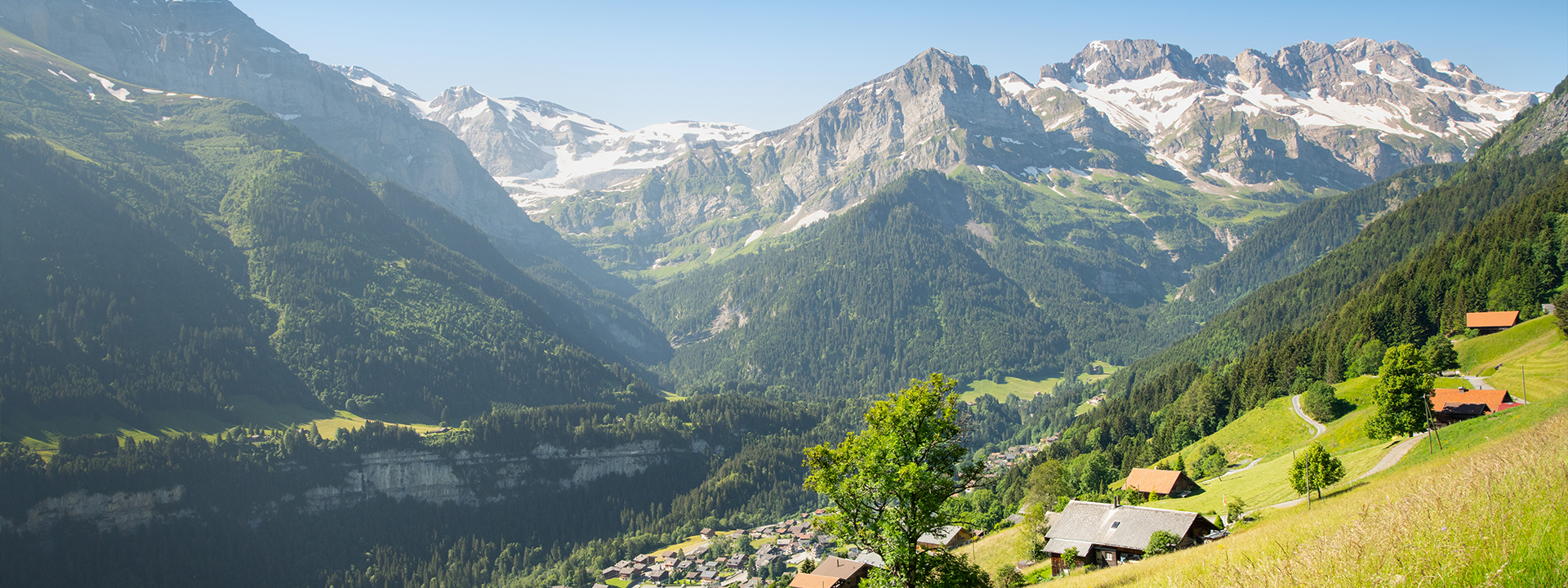
En été, le plateau de Barme se révèle comme un lieu où le temps semble figé. Telle une petite plaine délimitée d’un côté par les Dents Blanches et de l’autre par l’arête de Berroi, cet écrin de verdure a su garder son visage traditionnel et naturel.
Lové au cœur du village, le complexe multifonctionnel du Palladium abrite un large choix d’infrastructures sportives et de loisirs adaptées tant pour les élites que pour les sportifs occasionnels ou les familles. Pour se prélasser sur une agréable pelouse au bord de la piscine extérieure ou s’essayer à la pratique du curling, pour effectuer ses premiers pas sur la glace ou pour exercer ses pirouettes sur la patinoire, le tout se trouve sous le même toit, et bien plus encore…